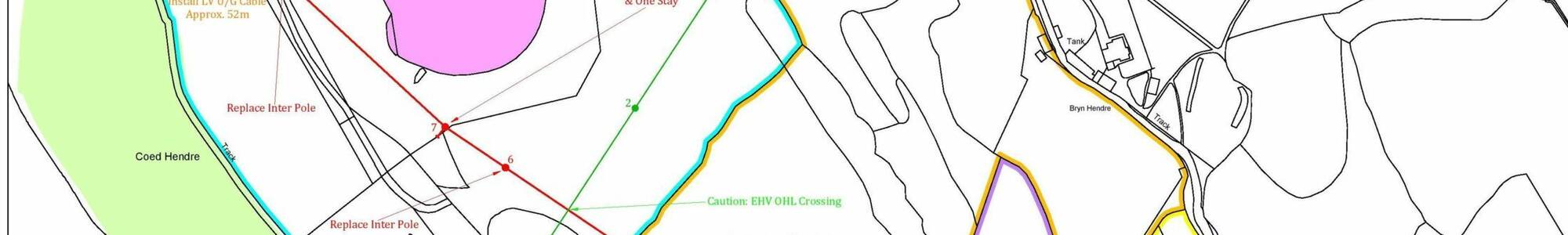
Our qualified and experienced in-house surveying and CAD service utilise industry standard software to produce detailed route maps, legal plans, boundary mapping together with aerial imagery and related site-specific information. Such clear, accurate and timely technical support facilitates and enhances project viability and assists in avoiding unnecessary delays and potential misunderstandings in the progress and delivery of land rights and consents.