The basis of many major projects, land referencing forms the foundation and develops throughout each project. The essential first stage is to identify the relevant parties with an interest in land affected by a proposal. Such parties may include landowners, tenants/occupiers or mortgagees. Additionally, other rights such as sporting, access rights or designated sites of historic/special interest may also be affected.
An initial assessment through a desktop study takes place in order to gather information such as detailed landownership boundaries, landowner schedules & relevant designated areas from HM Land Registry and other data sources.
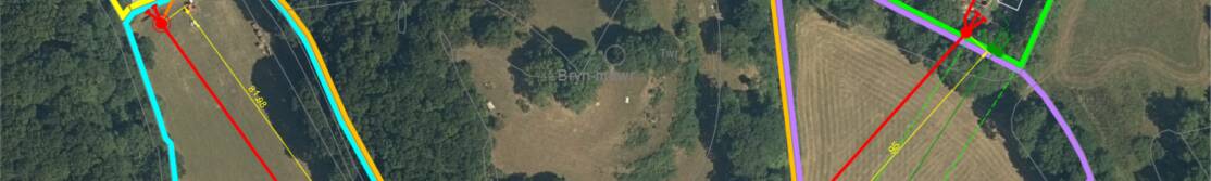
In addition, to enhance clarity, our in-house CAD technician utilises industry standard software to create detailed route maps, site specific information and aerial imagery.